![Ch'onha chido [Atlas of all under Heaven]](/images/atlases/topimages/400px/1780_korea.jpg)
12 manuscript maps from a traditional Korean manuscript atlas from the late 18th century. Mounted in a double concertina format during the 1970s by a very skillful Korean bookbinder. Covered with Korean fabric.
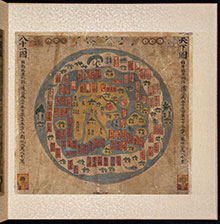
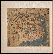
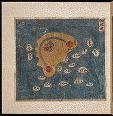
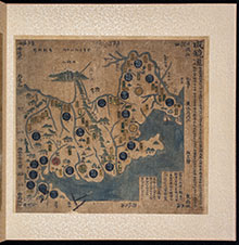
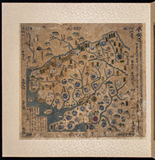
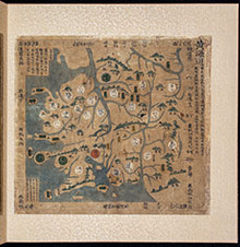
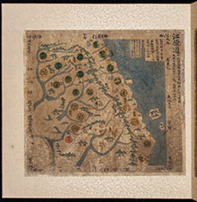
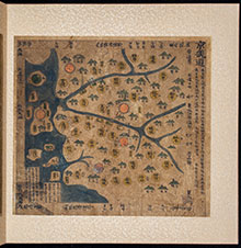
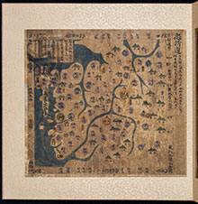
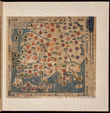
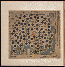
Ch’onha chido (Atlas of the world) is a traditional Korean atlas produced between mid 18th and early 19th century. With a China-centered world map (Chonha-Do), a map of China with Korea, two maps of the Ryukyu Islands and 8 maps of the Korean provinces.
This atlas is for sale. Please visit: Korean Manuscript Atlas, Late 18th Century
![[Front Cover]](/images/atlases/thumbs/220px/1780_korea_001.jpg)

![[Back Cover]](/images/atlases/thumbs/220px/1780_korea_014.jpg)