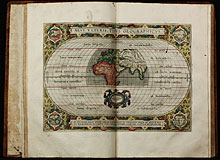
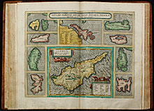
1595: Parergon. Atlas of the Ancient World by Abraham Ortelius

Parergon, sive Veteris Geographiae aliquot Tabulae. [Bound with:] Nomenclator Ptolemaicus.

Click on the image to see all maps in high resolution.

An atlas of the ancient world by Abraham Ortelius. The Parergon maps began appearing as supplements within Ortelius main work the Theatrum Orbis Terrarum in 1579 with 3 maps. During the following years, more map were completed and the Parergon became an atlas in its own right. The present edition of 1595 is usually bound with the 1595 Latin edition of the Theatrum Orbis Terrarum.

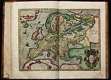
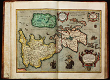
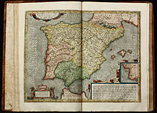
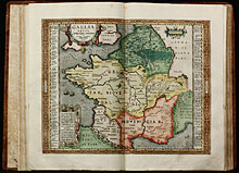
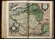
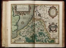
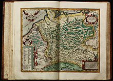
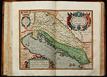
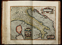
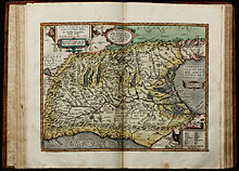
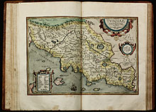
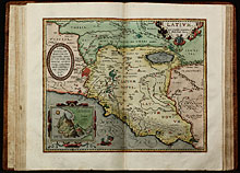
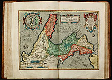
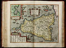
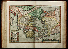
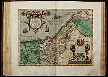
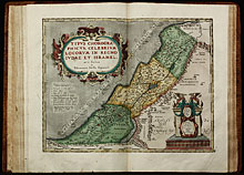
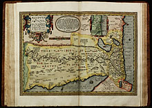
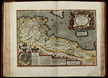
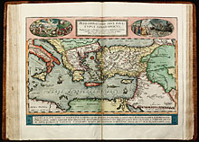
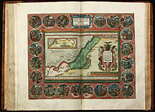
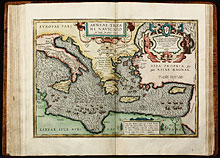
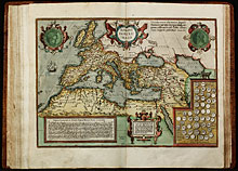
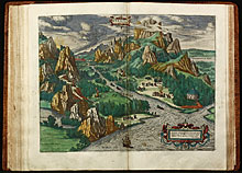
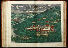
The atlas consists of one engraved portrait of Ortelius by Philip Galle, a woodcut architectural title border, 30 engraved double-page maps and two engraved double-page views.

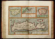
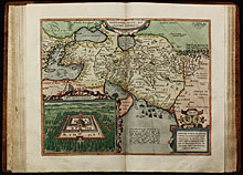
Koeman mentioned about the Parergon of Ortelius: This atlas of ancient geography must be regarded as a personal work of Ortelius. For this work he did not, as in the 'Theatrum', copy other people's maps but drew the originals himself which were later engraved by Jan Wierix ... The maps in the Parergon have to be evaluated as the most outstanding engravings depicting the wide-spread interest in classical geography in the 16th century

Provenance: W. K. Rehmann (manuscript exlibris on front free endpaper)

  • Title Parergon, sive Veteris Geographiae aliquot Tabulae. [Bound with:] Nomenclator Ptolemaicus.
  • Author Ortelius, Abraham
  • Year 1595
  • Publisher Christopher, Plantin; Antwerp
  • Size Folio, 44.3 x 28.5 cm
  • Colour contemporary hand colour
  • Illustrations 1 engraved portrait, 1 woodcut title border, 30 copper engraved maps, 2 engraved views, several woodcuts in text
  • Cover Contemporary blind-ruled calf, in a brown cloth slipcase. Rebacked with title stamped in gold.
  • References Koeman Ort 45 & Ort 44; Adams O-340 (bound with Theatrum)

List of all Maps

  • Aevi Veteris, Typus Geographicus.
  • Europam, sive Celticam veterem, sic describere conabar Abrah. Ortelius.
  • Britannicarum Insularum Typus.
  • Hispaniae veteris Descriptio. Ex conatibus Geographicis Abrah. Ortely.
  • Gallia Vetus, Ad Iulij Caesaris commentaria. ex Conatibus geographicis Abrah. Ortelij. 1590.
  • Galliae Veteris Typus. Ex conatibus Geographicis Abrah. Ortelij.
  • Belgii Veteris Typus. Ex Conatibus Geographicis Abrahami Ortelii.
  • Germaniae Veteris, typus. Ex conatibus geographicis Abrahami Ortelij.
  • Pannoniae, Et Illyrici Veteris Tabula. Ex conatibus geographicis Abrahami Ortelii ...
  • Italiae Veteris Specimen. Cum privilegio decennali 1584.
  • Italia Gallica, Sive Gallia Cisalpina. Ex conatibus Geographicis Abrah. Ortelij.
  • Tusciae Antiquae Typus. Ex Conatibus Geographicis Ab. Ortelij.
  • Latium. Ex Conatibus Geographicis Abrah. Ortelij Antverp.
  • Itala nam Tellus Graecia Maior Erat. Ovid. 4 Fast.
  • Siciliae Veteris Typus. Ex Conatibus geographicis Ab. Ortelii.
  • Ellas. Graecia Sophiani. Abrahamo Ortelio descriptore.
  • Thraciae Veteris Typus. Ex conatibus Geographicis Abrah. Ortelii.
  • Daciarum, Moesiarumque, Vetus Descriptio.
  • Pontus Euxinus. Aequor Iasonis Pulsatum Remige Primum.
  • Creta Iovis Magni, Medio Iacet Insula Ponto. Corsica Insulae Maris Ionii. Sardinia.
  • Insular. aliquot Aegaei Maris Antiqua Descrip.
  • Alexandri Magni Macedonis Expeditio,
  • Palestinae sive Totius Terrae Promissionis Nova Descriptio Auctore Tilemanno Stella Sigenensi.
  • Typus Chorographicus, Celebrium Locorum in Regno Iudae et Israhel Arte Factus a Tilemanno
  • Aegyptus Antiqua. Terra suis contenta bonis, non indiga mercis Aut Iois, in solo tanta ...
  • Africae Propriae Tabula, in qua, Punica Regna Vides; Tyrios, et Agenoris Urbem.
  • Peregrinationis Divi Pauli Typus Chorographicus. In quo et novi Testamenti ...
  • Abrahami Patriarchae Peregrinatio, et Vita.
  • Aeneae Troiani Navigatio ad Virgilij Sex Priores Aeneidos.
  • Romani Imperii Imago.
  • Tempe.
  • Daphne.
Go to top