


Click on an atlas to see all maps in high resolution.
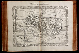
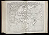
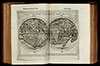
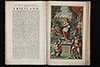
1541: Ptolemy's Geographia by L. Fries
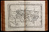
A Renaissance atlas, first printed 1513 in Strassburg with 47 woodcut maps by Martin Waldseemüller. This is the 6th edition, printed 1541 in Vienne (Dauphiné) by G. Treschel with size reduced maps by Laurent Fries.
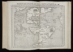
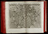
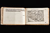
1552: Ptolemy's Geographia by S. Münster
Seb. Münster's Geographia Universalis, printed in Basel by Henrich Petri in 1552. With 54 double page woodcut maps. This is the last edition of the Geographia published during Münster's lifetime.
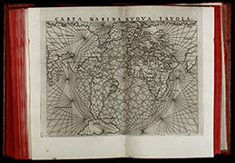
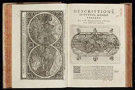
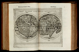
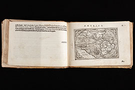
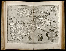
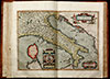
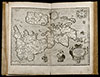
1564: Ptolemy's Geographia by G. Ruscelli
Third edition of Ruscelli's translation of Ptolemy's Geografia and first edition published by G. Ziletti in 1564. With 64 beautiful double page engraved maps of the 1561 Valgrisi edition.
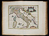
1595: Parergon by Abraham Ortelius
Ortelius's atlas of the ancient Geography. A 16th century atlas with 32 beautiful coloured maps and views. The most outstanding work of the famous Dutch cartographer Abraham Ortelius.
1597: Ptolemy's Geographia by G. Magini
The first edition of Leonardo Cernoti's Italian translation of Ptolemy's Geografia based on the 1596 Latin edition of Magini published by G. B. Galignani & G. Galignani in 1597-98.
1598: Ptolemy's Geographia by G. Ruscelli
Sixth edition of Ruscelli's translation of Ptolemy's Geografia, extended by Giuseppe Rosaccio and published by the Hires of M. Sessa in 1598. With 69 beautiful double page engraved maps of the 1561 Valgrisi edition with the addition of ships and sea monsters.
1604: Pocket Atlas by Abraham Ortelius
Very rare and only German edition of the pocket atlas by Ortelius with 128 maps. A co-production of Levinus Hulsius and Jan van Keerbergen printed 1604 in Frankfurt.
1624: Parergon by Abraham Ortelius
Ortelius's atlas of the ancient Geography. With 43 maps and views, including the famous Peutinger table. The most outstanding work of the famous Dutch cartographer Abraham Ortelius.
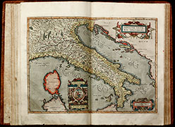
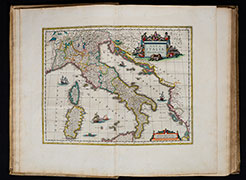
1664: Italy and Greece by Joan Blaeu
Blaeu's atlas of Italy and Greece. With 67 maps. 17th century Dutch vellum and all maps coloured by a contemporary hand. This atlas was publish as seventh volume of the famous Atlas Maior in Amsterdam.
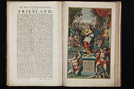
1718: Friesland Atlas by B. Schotanus
Friesland atlas of Bernhard Schotanus by François Halma. With 39 maps and 4 heraldic plates, all brilliantly coloured by a contemporary hand. One of the best and most beautiful documents of the cartography of Friesland.
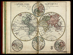
1731: Atlas Novus by Homann
Monumental atlas of the world by Johann Baptist Homann with 100 map. Germany's most famous 18th-century world atlas. All maps coloured by an 18th-century hand.
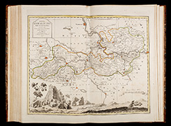
1750: Silesia Atlas by Homann
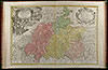
Large special atlas of Silesia by the Homann publishing house. With 20 double page engraved maps, the most detailed of Silesia during the time of publication. Based on the survey of Johann W. Wieland.
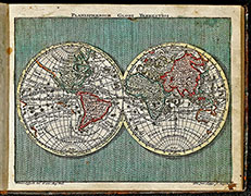
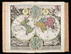
1753: School-Atlas by Leonhard Euler
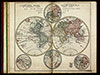
First edition of the rare atlas by the famous mathematician Leonhard Euler. Created under the auspices of the Royal Prussian Academy of Sciences in Berlin and intended for use in schools.
1760: School-Atlas by Leonhard Euler
Second edition of the rare atlas by the famous mathematician Leonhard Euler. Created under the auspices of the Royal Prussian Academy of Sciences in Berlin and intended for use in schools.
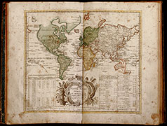
1762: Pocket Atlas by Tobias C. Lotter
Lovely pocket atlas of Tobias Conrad Lotter. Bound with "Kurzgefasste Geographie" by Tobias Lobeck. Easy to carry in a jacket during travelling by foot or horse during the 18th century.
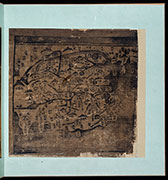
Mid 18th Century: Korean Atlas
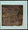
A Korean woodblock atlas (Ch’onha chido) with a map of China and maps of the eight Korean provinces.
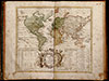
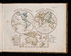
Late 18th Century: Korean Atlas
A Korean manuscript atlas (Ch’onha chido) with a map of the world, China, Ryukyu Islands and maps of the eight Korean provinces.
1781: Sachsen Altas
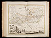
The Atlas Saxonicus Novus, also known as the "Schenkscher Atlas", an important Central German atlas from the 18th century.
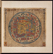
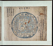
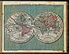
Early 19th Century: Korean Atlas
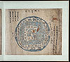
A Korean manuscript atlas (Ch’onha chido) with a map of the world, Korea, maps of the eight Korean provinces and Ryukyu Islands.
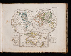
1840: School Atlas by Adolf Stieler
School atlas by Adolf Stieler. A very popular school atlas in Germany during the 19th century. It is a reduced version of Stieler's Hand-Atlas. This is the 20th edition published in Gotha in 1840.